Google Maps
Overview
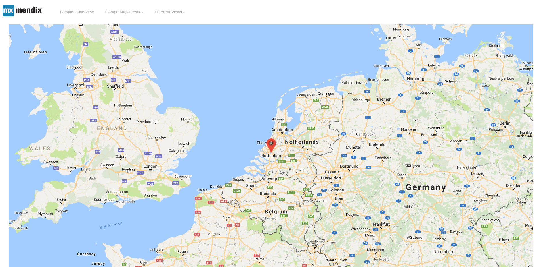
Use this widget to show a location on Google Maps based on an address or coordinates using data sources like Context, Static, XPath or Microflow. Customize the marker display, and more.
This widget is deprecated. The recommended alternative it the Maps widget. See: https://marketplace.mendix.com/link/component/108261
Documentation


Google Maps
- Show locations on google maps
Features
- Show location on a map based on an address
- Show location on a map based on an coordinate
- Show list of both addresses and coordinates on the map
- Data sources Context, Static, XPath or Microflow
- Customize the display of the marker. If the marker can not be found from the custom markers. The widget will use the specified custom markers else it will use the widget bundled marker.
Limitations
Context and static datasource are Offline capable with Mendix data, however still need to be online to see the map.
The widget uses Google Maps API v3. So the Limitations from Google applies, especially for geocoding. We even advise geocoding your locations within your Mendix application and store them for later use as coordinates on the widget.
Dependencies
Mendix 7.9.0
How it Works
When displaying locations, the widget will prioritize coordinates over addresses.In the event that the coordinate is not specified, it will use address. If there are multiple locations, the map will be centered based on default address specified. However if it is only a single point in the list, the map will center to that point. When the zoom level is zero (0), then the map will use the bounds zoom. When the default center is not specified, the map will use the bounds center
Demo project
https://googlemaps101.mxapps.io/
Usage
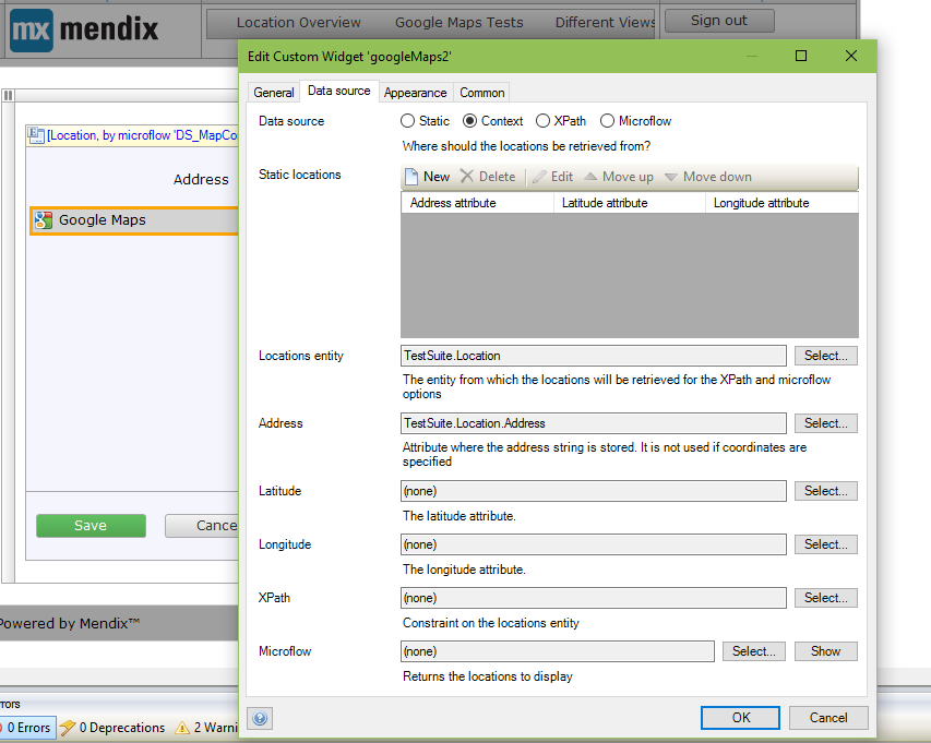
Data source: Static
- On the Data source option of the Data source tab, select the static option if its not already selected by default.
- On the Static locations option of the same tab, click new to add Static locations.
Data source: XPath
- On the Data source option of the Data source tab, select the XPath option.
- Specify the Location entity and the XPath constraint (if any).
Data source: Microflow
- On the Data source option of the Data source tab, select the Microflow option.
- Specify the Location entity and the Microflow to retrieve the Map locations from (both required).
Appearance
- It is used to configure how the map responsively looks in relation to the container it is placed in.
Custom markers
- It is used to configure how the marker icon should be look. Due to the limitation of Mendix. The markers are created based on enumeration. An enumeration containing the name and caption of the markers should be created within your project and that enumeration assigned to the Location entity. From the Custom markers tab, the enumeration key and image is then specified in the Marker images
Issues, suggestions and feature requests
Please report issues at https://github.com/mendixlabs/google-maps/issues.
Development and contribution
Please follow development guide.